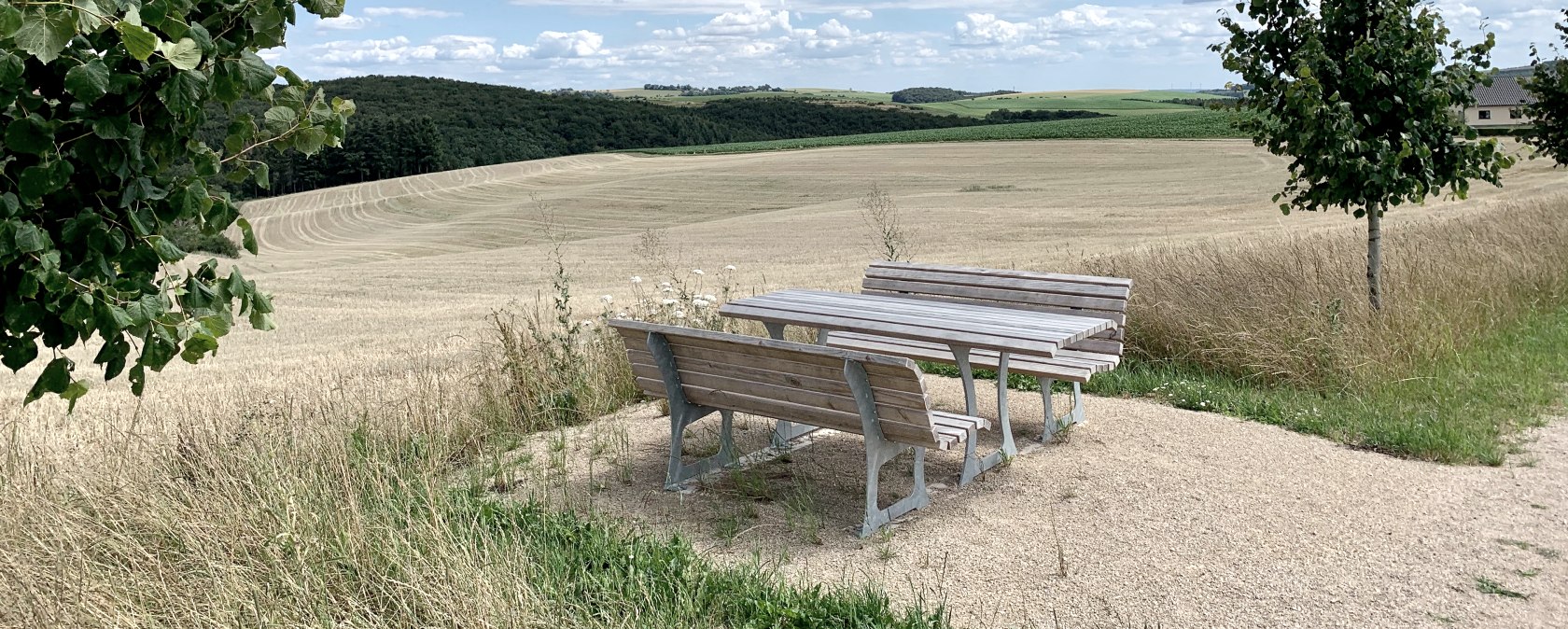
Ammeldingen bei Neuerburg
pdf: kurzbericht_komfort-weg_ammeldingen_bei_neuerburg_pa-11691-2020_degpx: files/barrierefrei-ammeldingen
- Distance: 1.2 km
- Duration: 0:20 h
- Difficulty: easy
Along the route
More information about this route
Start:
54673 Ammeldingen, Kapellenweg 2
Destination:
54673 Ammeldingen, Kapellenweg 2
Distance: 1.2 km
Duration: 0:20 h
Difficulty: easy
Ortsgemeinde Ammeldingen
54673 Ammeldingen bei Neuerburg
Literature:
Order brochuresPlan your journey
At a glance
Barrierefreie Austattungsmerkmale
Some information on accessibility are listed below. For detailed information please see the evaluation report.
- The hiking trail is 1.1 km long.
- The signage (for orientation) is designed in clearly legible and high-contrast lettering.
- The trail runs partly on a road used by motor vehicles (30 km/h zone, play road or forest and scenic paths).
- The trail is clearly, uniformly and continuously signposted.
- The signage is designed in legible lettering and the information is provided in writing and in the form of pictograms.
- Information is not available in Braille or prismatic writing.
- There is a barrier-free toilet in the village community center that is accessible to the public without stairs.
Some information on accessibility are listed below. For detailed information please see the evaluation report.
- The hiking trail is 1.1 km long.
- The signposting is clearly legible and the information is provided in writing and in the form of pictograms.
- The trail runs partly on a road used by motor vehicles (30 km/h zone, play road or forest and countryside paths).
- There is a barrier-free WC in the village community center that is accessible to the public without stairs.
Some information on accessibility are listed below. For detailed information please see the evaluation report.
- The hiking trail is 1.1 km long.
- The trail runs partly on a road used by motor vehicles (30 km/h zone, play road or forest and scenic paths).
- The trail is clearly, uniformly and continuously signposted.
- A parking lot is available.
- There is a barrier-free WC in the village community center that is accessible to the public without stairs.
All areas relevant for testing meet the quality criteria of the label "Accessibility certified - partially accessible for people with walking disabilities".
Some information on accessibility are listed below. For detailed information please see the evaluation report.
- There is a parking lot for people with disabilities.
- The circular hiking trail is 1.1 km long.
- The hiking trail is stepless and easy to walk and drive on.
- The hiking trail is at least 120 cm wide. Except for a 2 m long narrow section (87 cm wide), which can be bypassed.
- The hiking trail has a maximum longitudinal gradient of up to 9% over a length of 50 m.
- The clear width next to obstacles/frame barriers/barriers is at least 80 cm.
- The trail runs partly on a road used by motor vehicles (30 km/h zone, play road or forest and countryside paths).
- Seating is provided at 500 m intervals.
- The trail is clearly, uniformly and continuously signposted.
- There is a barrier-free WC in the village community center that is accessible to the public without stairs.
Zertifiziert im Zeitraum:
November 2024 - October 2027
Barrierefreiheit geprüft


