Active filter
- Sort by "Best results"
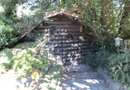

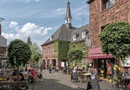
Hoch über dem Tal der Rur: Nideggen
Nideggen
On the northern edge of the Eifel - high above the red sandstone cliffs visible from afar - lies the former ducal town of Nideggen.
. More information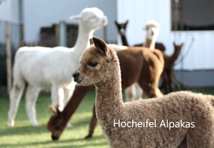
Hocheifel Alpakas
Üttfeld
Hocheifel alpacas: farm tour, alpaca breeding and alpaca farm shop.
More information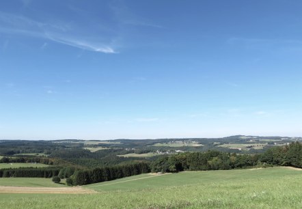
Hocheifel view | Kottenborner Kreuz
Wershofen
The viewingpoint Kottenborner Kreuz is located east of Wershofen.
. More information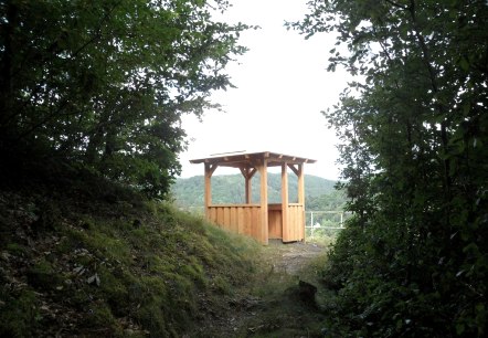
Hocheifel view | small lookout tower No.1 above Schuld
Schuld
Viewpoint |Schulder Türmchen Nr. 1.
More information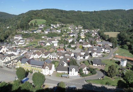
Hocheifel view | small lookout tower No.2 above Schuld
Schuld
Viewpoint |Schulder Türmchen Nr. 2.
More information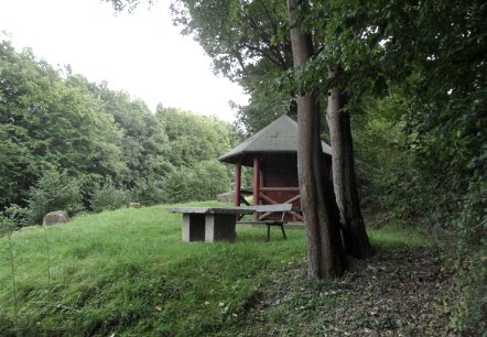
Hocheifel view | small lookout tower No.3 above Schuld
Schuld
Viewpoint |Schulder Türmchen Nr. 3.
More information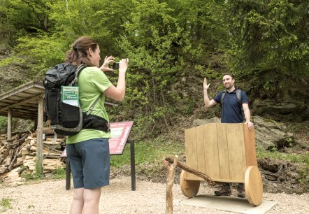
Hochkelberg Panorama Trail
Lenght: 41 km
Route: Nohner Mühle to Ulmen
Difficulty: difficult
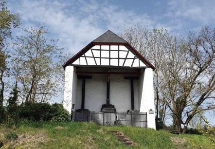
Hochkreuz
Thür
The Hochkreuz is located on the lava flow between Thür and Mendig.
From here you can see far into the Pellenz. The high cross represents a covered crucifixion group.
. More informationGuest survey
Guest survey
Are you currently spending a vacation in the Eifel or have you spent a vacation in the Eifel in the last 6 months? We would be delighted if you take part in our guest survey. As a thank you, you can win an Apple iPad.

