Active filter
- Sort by "Best results"
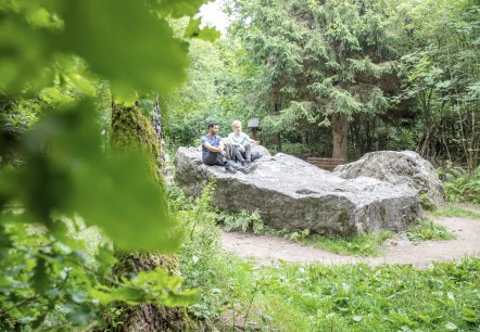
Kaiser Karls Bettstatt
Monschau
According to the legend, Emperor Charles the Great had become lost in the High Fens during a hunting excursion near his residence in Aachen and was forced to spend the night on this large quartzite rock. The rock, near the town of Mützenich, situated immediately on the German-Belgian border, is still quite commonly referred to as: Kaiser Karl’s Bettstatt…
More information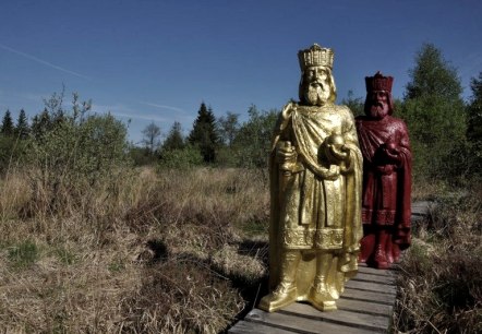
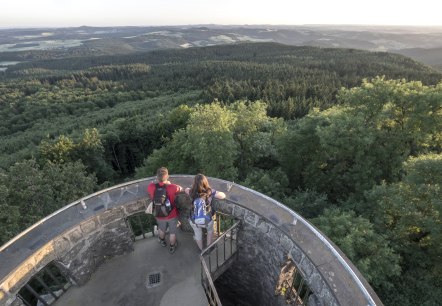
Kaiser-Wilhelm-Turm
Kaltenborn
The tower was erected on the mountain Hohe Acht, at an altitude of 747 metres.
. More information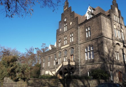
Kaiserbahnhof
Mendig
In 1877 the so-called Kaiserbahnhof was built in Mendig.
It is considered to be one of the most beautiful historical buildings in the Mendig region.
The building was named because Kaiser Wilhelm II is said to have used it as a starting point for visits to Eifel maneuvers…
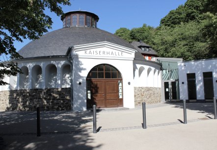
Kaiserhalle Burgbrohl
Burgbrohl
The special reason for building the Kaiserhalle in this form as a self-supporting domed hall was the need for the builder Wilhelm Bell to provide evidence that local building materials such as lime, lava sand and trass can also be used for extreme loads…
More information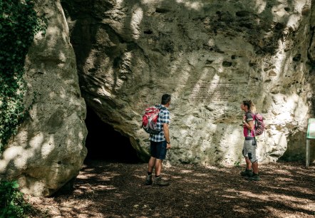
Kakushöhle
Mechernich
Traces of settlement at the prehistoric Kakushöhle between Eiserfey and Weyer date back to 80,000 BC. Hunter-gatherer groups of the Neanderthals left behind numerous stone implements of the Middle Palaeolithic epochs and animal bones…
More information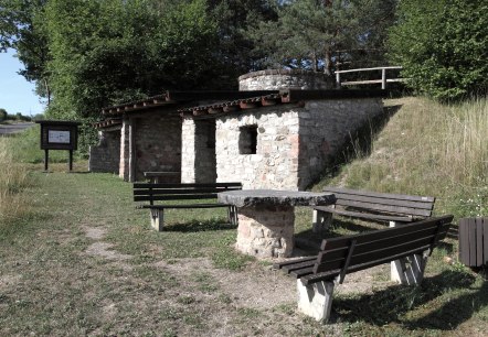
Kalkofen
Üxheim
The small lime kiln was active until about 500 years after the World War II.
. More information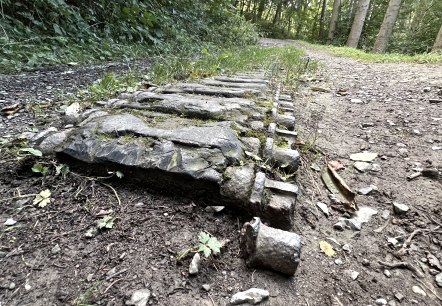
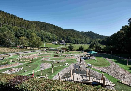
Kallbach's Adventure Golf
Hürtgenwald
At Kallbach's Adventure Golf, you play on artificial turf courses close to nature and, as with the "big" golf, on 18 holes. Hills, depressions, terrain transitions and all kinds of exciting surprises have to be mastered on greens up to 50 metres long…
More information
Guest survey
Guest survey
Are you currently spending a vacation in the Eifel or have you spent a vacation in the Eifel in the last 6 months? We would be delighted if you take part in our guest survey. As a thank you, you can win an Apple iPad.

