Active filter
- Sort by "Best results"

Ortsgemeinde Ditscheid
Ditscheid
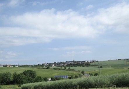
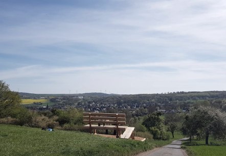
On the western edge of the municipality of Vordereifel lies the small village of Ditscheid. From its local mountain, the Steinbüchel, you can enjoy the view over the village and a beautiful landscape…
More information

Ortsgemeinde Ettringen
Ettringen
Ettringen's townscape is characterized by volcanic rock, which was mined here especially during the industrialization period in the last century. The landmark of the village with more than 2,720 inhabitants is the Hochsimmerturm. But also the volcanic park stations "Ettringer Lay" and "Ettringer Bellerberg" are known beyond the region and offer fascinating insights into the history of the region…
More information
Ortsgemeinde Hausten
Hausten
Picturesquely located in the upper Nettetal, the municipality of Hausten is framed at an altitude of about 420 m by meadows and mixed forests. The pure residential community is home to about 380 inhabitants and is located on the northern district border of the district of Mayen-Koblenz to the district of Ahrweiler…
More information

Ortsgemeinde Herresbach
Herresbach
The approximately 510 inhabitants of the municipality, surrounded by forests, meadows and fields, appreciate the central location in the heart of the Eifel. The immediate proximity to the Nürburgring, the Ahr, the Rhine and moselle as well as the "Hohe Acht" (747 m), the highest elevation of the Eifel, offers an ideal environment for motorsport fans as well as those seeking relaxation…
More information
Ortsgemeinde Hirten
Hirten
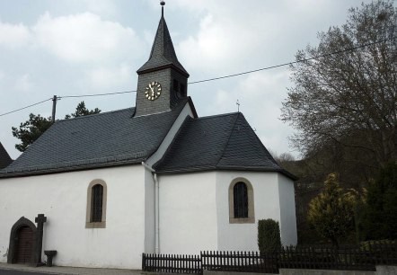
Geographically, the municipality of Shepherds with its approximately 270 inhabitants lies in the middle of the community of Vordereifel. In the centre of the village is the Apollonia Chapel…
More information
Ortsgemeinde Kehrig
Kehrig
The municipality of Kehrig with its 1,210 inhabitants, is situated in a scenic location near the river Elz and offers many possibilities for hikers and cyclists with its beautiful views…
More information
Ortsgemeinde Kirchwald
Kirchwald
The 960-soul community of Kirchwald is located on a ridge between the Nette and Nitz valleys. From the Nettetal, a winding road winds directly behind Bürresheim Castle at an altitude of around 500 m…
More information
Ortsgemeinde Kottenheim
Kottenheim
The municipality of Kottenheim , with a population of around 2700, is known for mining Basatlava and Tuffstein until the late 1980s. Testimonies of this time include the "Kottenheimer Winnfeld"…
More informationGuest survey
Guest survey
Are you currently spending a vacation in the Eifel or have you spent a vacation in the Eifel in the last 6 months? We would be delighted if you take part in our guest survey. As a thank you, you can win an Apple iPad.

